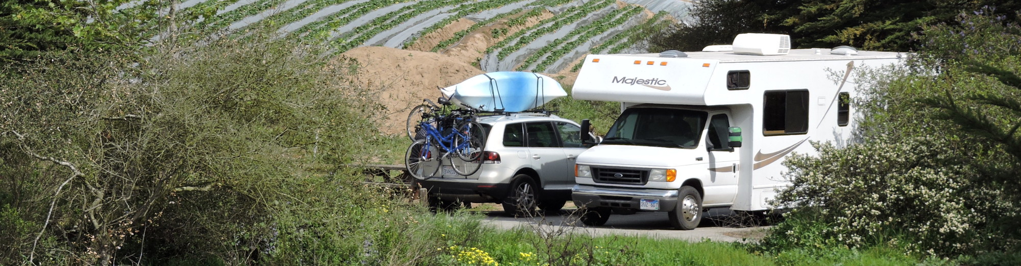

To drive to Alaska from the U.S., most travelers take the Alaska Highway, which extends 1,387 miles from Dawson Creek, British Columbia to Delta Junction, Alaska. But before we can do that, it’s a three and a half day drive from Vancouver through British Columbia just to get to the beginning of the Alaska Highway in Dawson Creek.

Linda crossing the Suspension Bridge over the Capilano River
Before we leave Vancouver, we spend a few hours at Capilano Suspension Bridge Park. I’m a little nervous at first but both Mike & I thoroughly enjoy the view as we walk across the 45 feet long, 230 feet high Suspension Bridge. Far below, the Capilano River rushes through the canyon. The bridge sways quite a bit as people walk across it but I remind myself that there’s been a bridge here since 1889 and there have been no accidents.
Once we’re on the other side of the canyon, we explore Treetops Adventure. It starts in a treehouse and continues on seven suspension bridges through magnificent old growth Douglas firs. These shorter suspension bridges don’t sway as much as they connect platforms high in the canopy. We enjoy Treetops Adventure so much that we walk around and do it again!

Some of the suspension bridges that connect magnificent Douglas firs in the Treetop Adventure

Mike bravely standing on the Cliff Walk grate
The Cliff Walk is our last activity. It’s a narrow wooden suspending walkway winding its way down the cliff face with spectacular views of the canyon and the river below. I like it because it doesn’t sway like the Suspension Bridge. At one point there’s a glass panel to stand on over the abyss and at another point there’s a grate that juts out over the canyon, which is actually more unsettling to stand on than the glass.
We could spend all day at Capilano Suspension Bridge Park but we want to make some progress today so we start driving at 3:00 pm. BC-99 is known here as the “Sea to Sky Highway”. It runs along Howe Sound past Horseshoe Bay, Lions Bay, and Furry Cove. It looks like a fjord with the heavily forested mountains (topped with patches of snow and wreathed in clouds) sloping steeply down to the bright blue water.

Along the “Sea to Sky Highway”

Whistler
It takes about two hours to reach Whistler, where we take a drive through Whistler Village. It reminds me a lot of Breckenridge with its condos, hotels, and restaurants. Although it’s almost the end of April, the gondola is still running, the parking lot at the ski area is full, and there are lots of skiers and snowboarders walking back after a day on the slopes.
The drive after Whistler is one of the prettiest we’ve ever been on. The mountains with their snowy peaks and glaciers surround us while we drive through healthy green conifer forests, along rushing rivers and creeks, past too many waterfalls to count, and along scenic lakes. We drive for at least 100 kilometers without any sign of human habitation and only a few cars pass us.

Glaciers and waterfalls
As it starts to get dark, we see numerous deer munching on the foliage along the side of the road so Mike has to drive the RV extra carefully.
It’s 8:00 pm by the time we pull into the First Nation town of Lillooet. We’re a little worried because we haven’t seen an open campground since we left Vancouver – they’re all “Closed for the Season”. But a few more kilometers down the road, we find the lovely, OPEN Fraser Cove Campground on the banks for the mighty Fraser River and stop for the night.

Our campsite along the mighty Fraser River at Fraser Cove Campground
 The next morning we take a walk around the campground and along the Fraser River before we continue driving on BC-99. We get only a few kilometers down the road when we see such an impressive waterfall bursting out of the cliff across the river that we have to stop to appreciate it (and take some photos).
The landscape changes, becoming drier with less trees. There are some widely spaced pines but mostly the vegetation is characteristic of high desert. The winding road follows a deep canyon through which the Fraser River flows.

The mighty Fraser River
We take a little detour to the town of Cache Creek for lunch and have some absolutely terrible Chinese food for lunch; although they call it Chicken Chow Mein, it’s basically Top Ramen with no vegetables or sauce, topped with a couple of microwaved chicken pieces. I don’t know how the waitress is able to serve it with a straight face.
We get on the road again but now we’re driving on BC-97, known as the “Cariboo Connector – Gateway to the North”. Our next stop is the town of 100 Mile House. Originally a stage stop, it was named for its distance from Lillooet. It’s a big town with a car dealership, airport, banks, and the Caribou Mall. There’s even a Safeway where we stop to do a little grocery shopping before continuing our drive north.
Our afternoon drive takes us past several beautiful lakes full of waterfowl – Lac la Hache, 130 Mile Wetlands, Williams Lake, and McLeese Lake. We stop at a small no-name lake where we walk down to the public floating fishing dock. I see several Lesser scaup swimming and hear, but can’t see, Red-winged blackbirds in the cattails.
-

- Lake with No Name
-

- Lesser scaup
After driving almost 300 miles today, we stop for the night a little earlier at 6:30 pm in the tiny town of Hixon at the Canyon Creek Campground & RV Park. Very few campers at this time of the year but at least it’s open!

Pretty Canyon Creek as it flows past the campground

Hixon Falls & Chute
The next morning, thanks to a suggestion from our campground hosts, we backtrack south on BC-97 for a few minutes, and then turn onto a dirt road. We drive for a couple of kilometers until it looks too steep and narrow for our RV. So we park, continue down the dirt road on foot, and then hike on a path across two foot bridges. We hear Hixon Falls before we see it. Because it’s spring, the water is literally exploding over the falls and then tumbling down Hixon Creek in a torrent.
After enjoying the beauty of Hixon Falls and Chute, we get back on BC-97 and resume our journey north to the fairly large city of Prince George. After Starbucks, lunch, and a trip to the post office, we continue driving north. The scenery is pretty monotonous with trees, lakes, trees, rivers, trees, lakes…and then at about 5:30 pm we see our first black bear foraging in the foliage at the side of the highway!

Bijou Falls (Provincial Park)
Ahead of us we see a mountain range with snow-covered peaks. This is the Rocky Mountain Trench, marking the western boundary of the Rocky Mountains. We’re steadily climbing through the Misinchjnka range of the Rockies when we see a sign for Bijou Falls Provincial Park and decide to stop. Another amazing waterfall gushing down the mountain, full of spring run-off – really spectacular!
We continue to climb until we crest Pine Pass, elevation 3,061, the high point on this highway, even though it’s not really not all that high. We pass frozen Azouzetta Lake (although I wouldn’t walk out on it). Snow is everywhere along the highway until we descend to a lower elevation.
Dusk is a great time to see animals but we have to be very alert to avoid animals on the highway. A second black bear ambles through a grassy meadow by Pine River. A few minutes later, two white-tailed deer run across the highway right in front of the RV but Mike avoids hitting them. Then we see a herd of about six elk in a meadow.
At 7:50 pm we see a sign for the Peace Foothills and we’re treated to a view across a wide verdant valley with a river snaking its way down the middle. We stop for the night at the first open campground, Caron Creek RV Park.
The next morning, it’s just a 10 kilometer drive to Chetwynd, a town renowned for its chainsaw carving and the “Home to the International Chainsaw Carving Championships”. We spend the next hour walking around the town to see as many of the chainsaw carvings as we can. They’re everywhere: along the main street, in vacant lots and shopping centers, and in front of businesses. Apparently, the carvings are all finalists in the chainsaw carving championships of years past. Subjects include mystical creatures (especially dragons), animals from moose to tigers, First Nation warriors, cowboys, hockey players, and even little green men in a flying saucer.

Chainsaw carvings in Chetwynd, BC
Next stop is the town of Dawson Creek and the start of the Alaska Highway!